Where Is Grand Junction, Colorado? Map, Elevation & Facts
Last reviewed: July 2026
Grand Junction, Colorado is on the state’s Western Slope where the Colorado and Gunnison rivers meet, at an elevation of 4,583 feet. It has about 71,000 residents (Mesa County: ~160,000), sits 244 miles west of Denver and 110 miles east of Moab, and is the largest city between Denver and Salt Lake City.
| Elevation | 4,583 ft (1,397 m) |
| Population (city) | ~71,000 |
| Population (Mesa County) | ~160,000 |
| County | Mesa County (county seat) |
| Rivers | Colorado River & Gunnison River |
| Distance to Denver | 244 mi (~4 hr) |
| Distance to Moab, UT | 110 mi (~1 hr 45 min) |
| Distance to Salt Lake City | 285 mi (~4 hr 30 min) |
| Airport | Grand Junction Regional (GJT) |
| Time zone | Mountain Time (MST/MDT) |
Where is Grand Junction, Colorado?
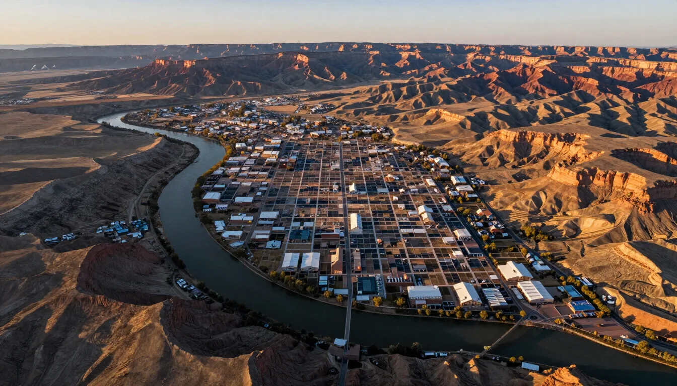
Grand Junction lies in western Colorado at the confluence of the Colorado and Gunnison rivers, the seat of Mesa County. It is the hub of the Western Slope and gateway to Colorado National Monument.
How does the elevation affect visitors?
At about 4,600 feet, Grand Junction is high enough to matter but far lower than Colorado’s mountain towns, so most visitors feel little altitude effect in the valley itself. The bigger factors are intense sun (thinner atmosphere means faster sunburn) and very dry air that dehydrates you and can leave you feeling tired if you don’t drink extra water. If you day-trip up to the Grand Mesa (10,000+ ft) or ski at Powderhorn, you may notice shortness of breath and stronger sun — go easy the first hour, hydrate, and use sunscreen. Alcohol also hits harder at elevation, worth remembering on a Palisade wine day. As of July 2026 these are the practical things first-time visitors underestimate most.
How do you get around and orient yourself?
The valley is easy to read once you know the anchors. Interstate 70 runs east–west along the north side, with the older US-6 Business Loop threading through town toward Clifton and Palisade. Horizon Drive connects I-70 and the airport to downtown, and Main Street is the walkable downtown core. Landmarks make navigation simple: the Colorado National Monument cliffs sit southwest, the Grand Mesa rises to the southeast, and Mount Garfield and the Book Cliffs mark the north. A car is the practical way to get around — distances between sights are short but transit is limited, though Grand Valley Transit runs local bus routes and wine shuttles serve Palisade. As of July 2026 rideshare operates but thins out late at night.
Quick facts every visitor should know?
Fast reference as of July 2026: Elevation ~4,600 ft (high desert); Time zone Mountain (MST/MDT); Metro population around 100,000, the largest city on Colorado’s Western Slope; Airport Grand Junction Regional (GJT), 10 minutes from downtown; Interstate I-70, 250 miles west of Denver and ~240 east of Salt Lake City. Climate is sunny and dry — ~245 sunny days and only 9.42 inches of precipitation a year (NOAA 1991–2020) — with hot summers (90s–100s) and mild, occasionally hazy winters. The city is the seat of Mesa County and the hub of the Grand Valley’s fruit and wine industry. It anchors day trips to Moab (1 hr 45 min), the San Juans, the Grand Mesa, and the Colorado National Monument. Founded in 1882 at the Colorado–Gunnison river confluence, it takes its name from that “grand junction” of rivers.
Where exactly is Grand Junction?
Grand Junction sits in western Colorado’s Grand Valley, on the Western Slope of the Rocky Mountains, at the confluence of the Colorado and Gunnison rivers — the “junction” in the name. It is on Interstate 70 about 250 miles west of Denver and roughly 240 miles east of Salt Lake City, making it the largest city between the two. The elevation is about 4,600 feet — high desert, not alpine — which is why summers are hot and dry rather than cool. It is the seat of Mesa County and the commercial hub for a wide swath of the Western Slope, with a metro population around 100,000 as of July 2026.
What geography and landmarks define the area?
Three landforms frame the valley. To the southwest, the red sandstone cliffs of Colorado National Monument rise abruptly from the valley floor. To the south and east looms the Grand Mesa, the largest flat-top mountain in the world, topping 10,000 feet and holding 300-plus lakes. To the north stand the Book Cliffs, a long escarpment, with distinctive Mount Garfield as its most recognizable peak. The rivers, the mild irrigated bottomland, and the abundant sunshine make the valley Colorado’s fruit and wine belt — Palisade peaches and Grand Valley wines are the best-known products. It is also a paleontology hotspot, sitting on rich Jurassic dinosaur beds showcased at Fruita’s Dinosaur Journey.
Frequently Asked Questions
Grand Junction is in western Colorado on the Western Slope, where the Colorado and Gunnison rivers meet, about 244 miles west of Denver and 110 miles east of Moab, Utah.